Hikes
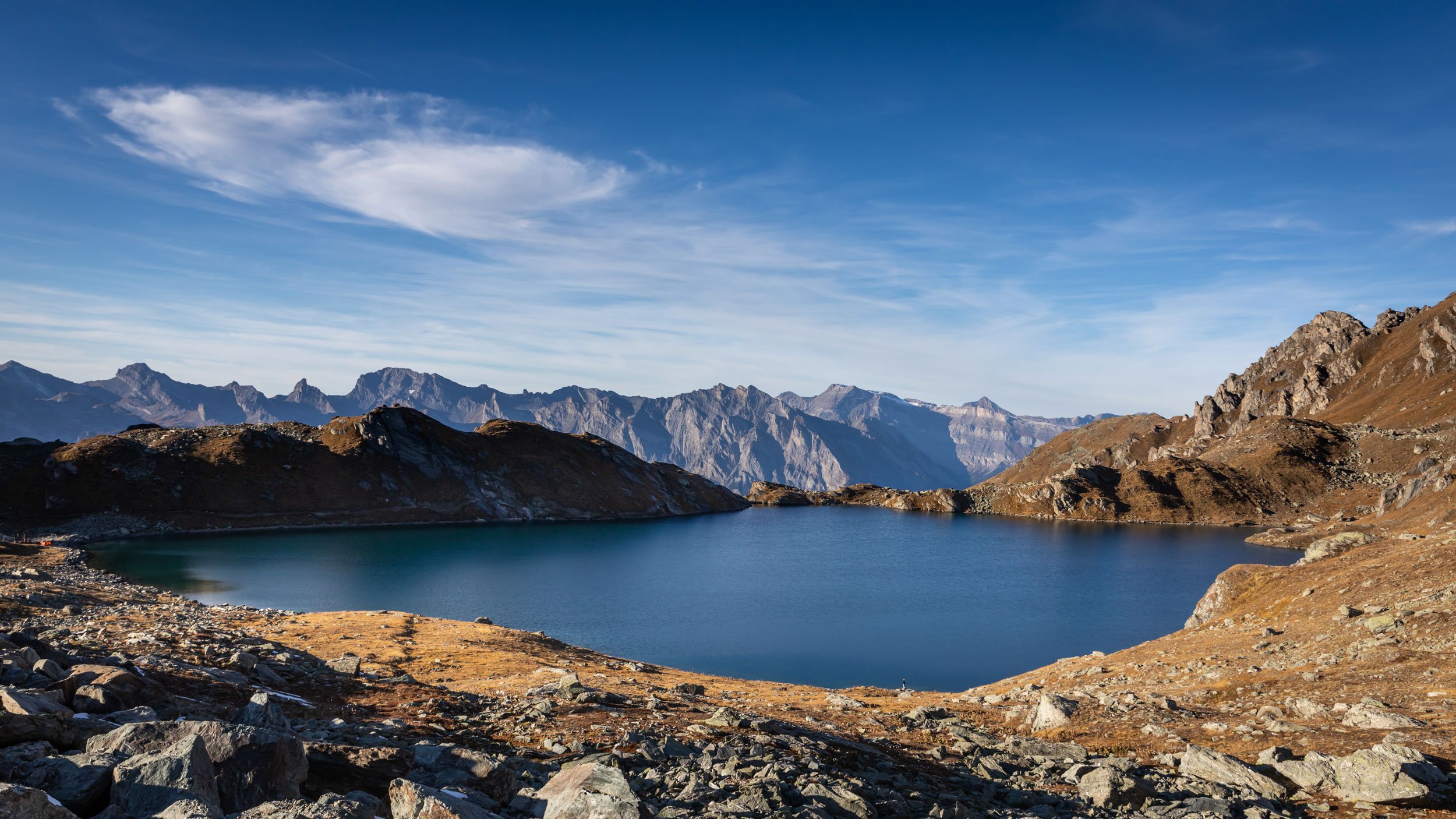
Lac des Vaux, Verbier
Difficulty: Moderate
Elevation of Lac des Vaux: 2484m
Route 1: Fontanet > Lac des Vaux (Loop)
Route 2: Ruinettes > Col de Mines > Lac des Vaux > Les Attelas > Ruinettes
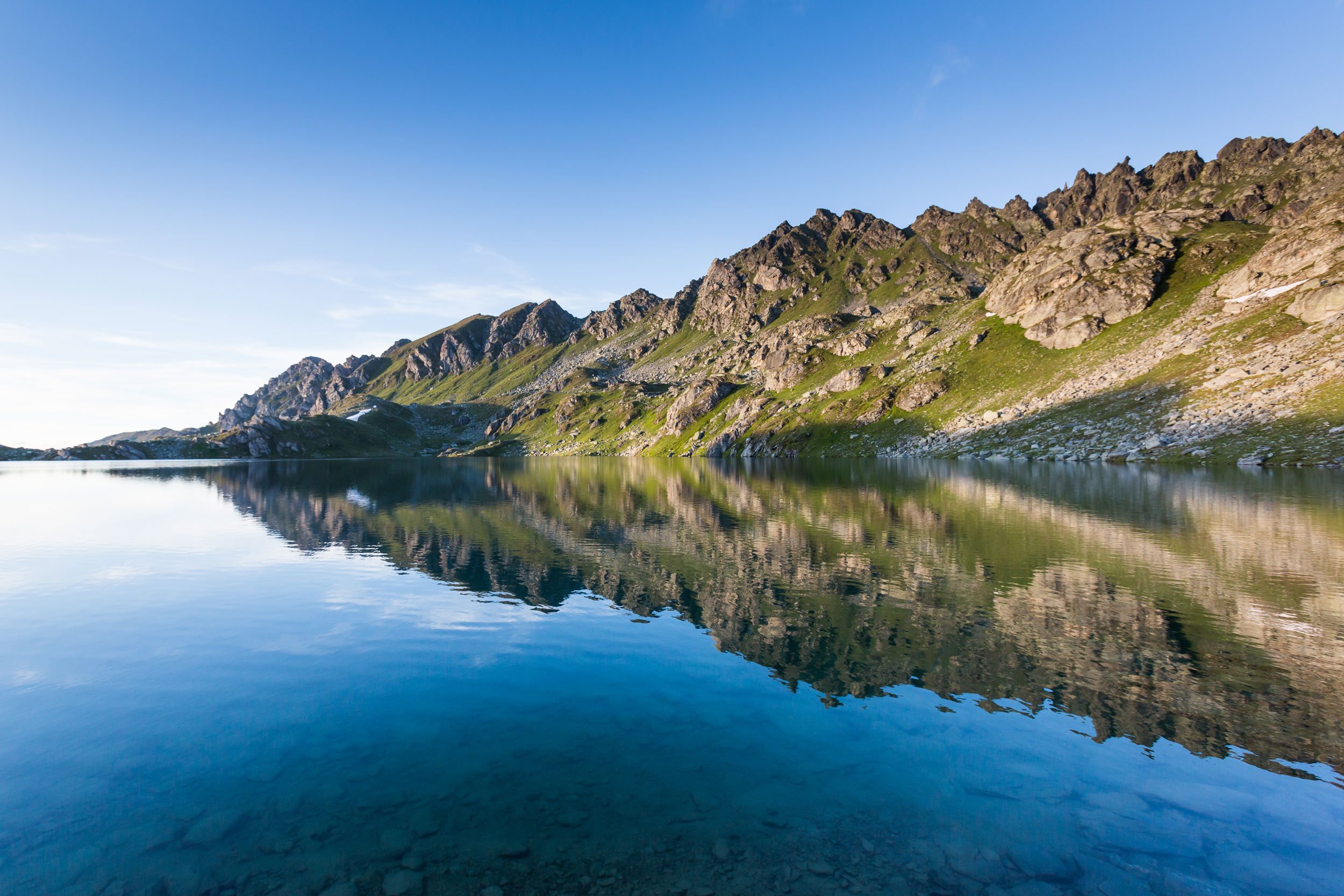
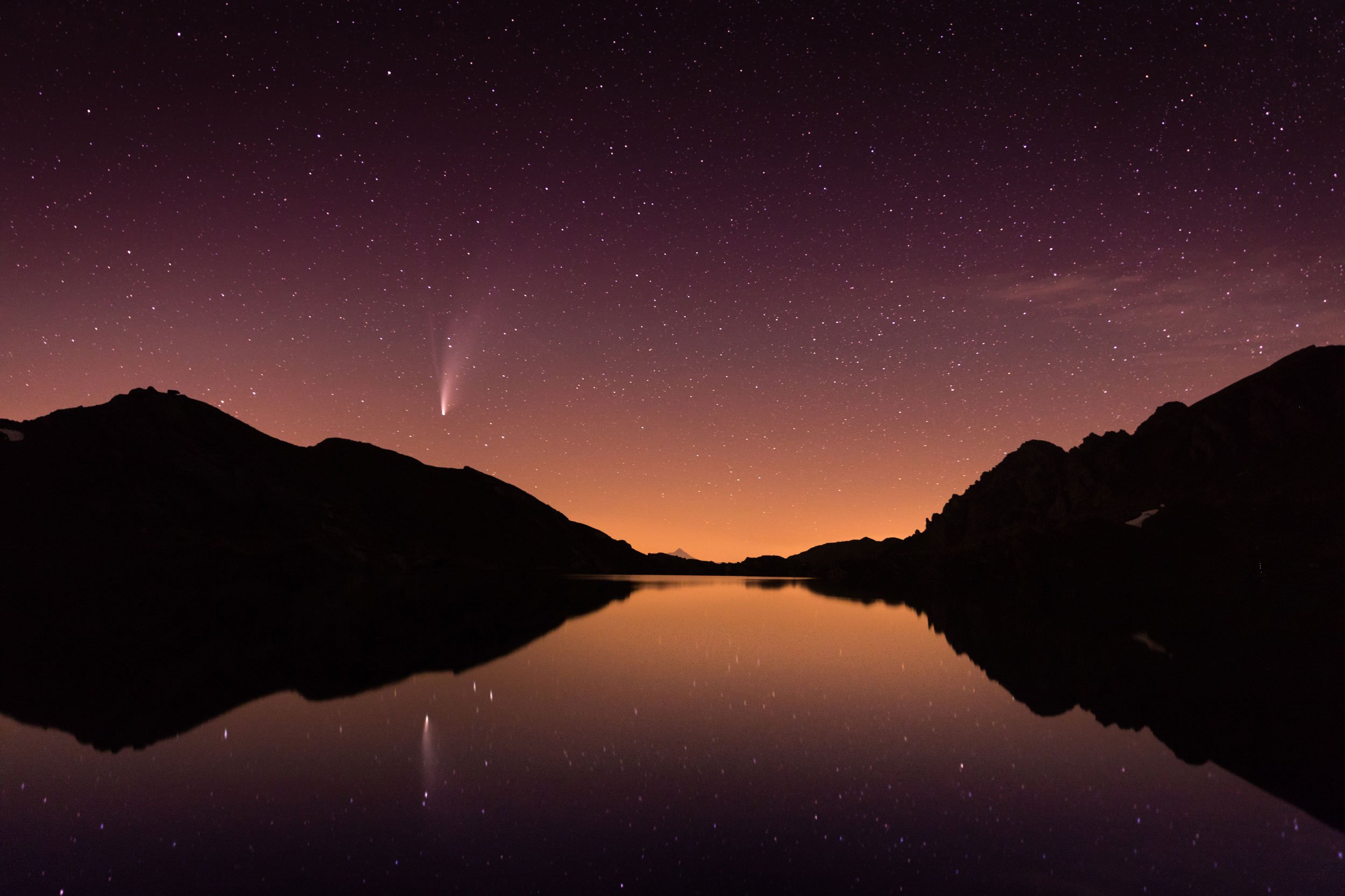
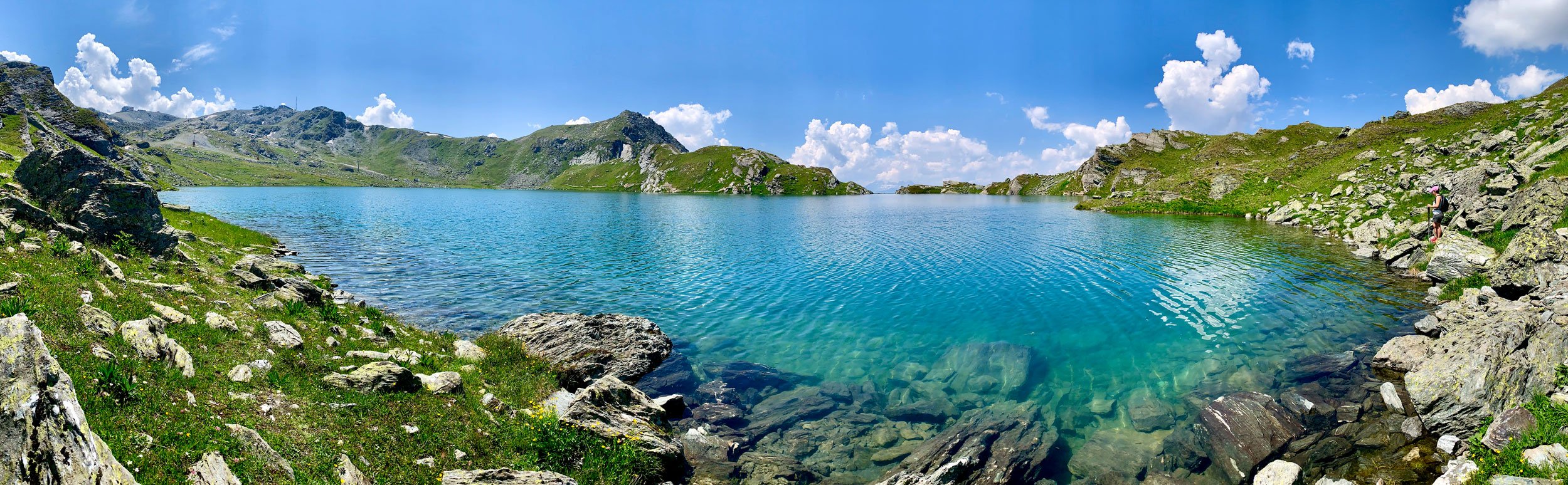
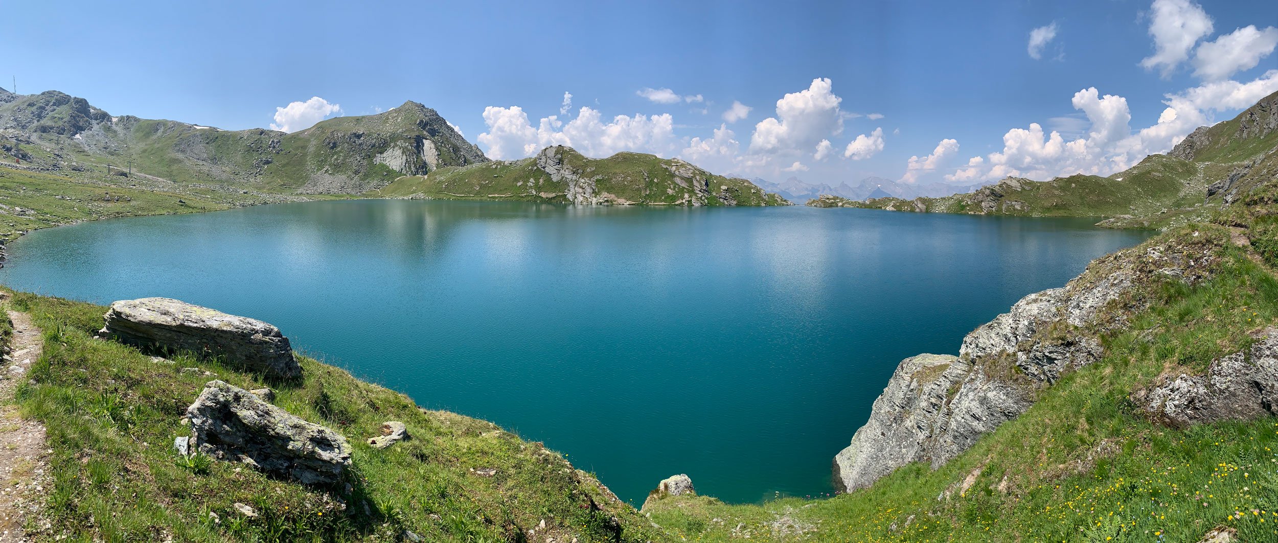
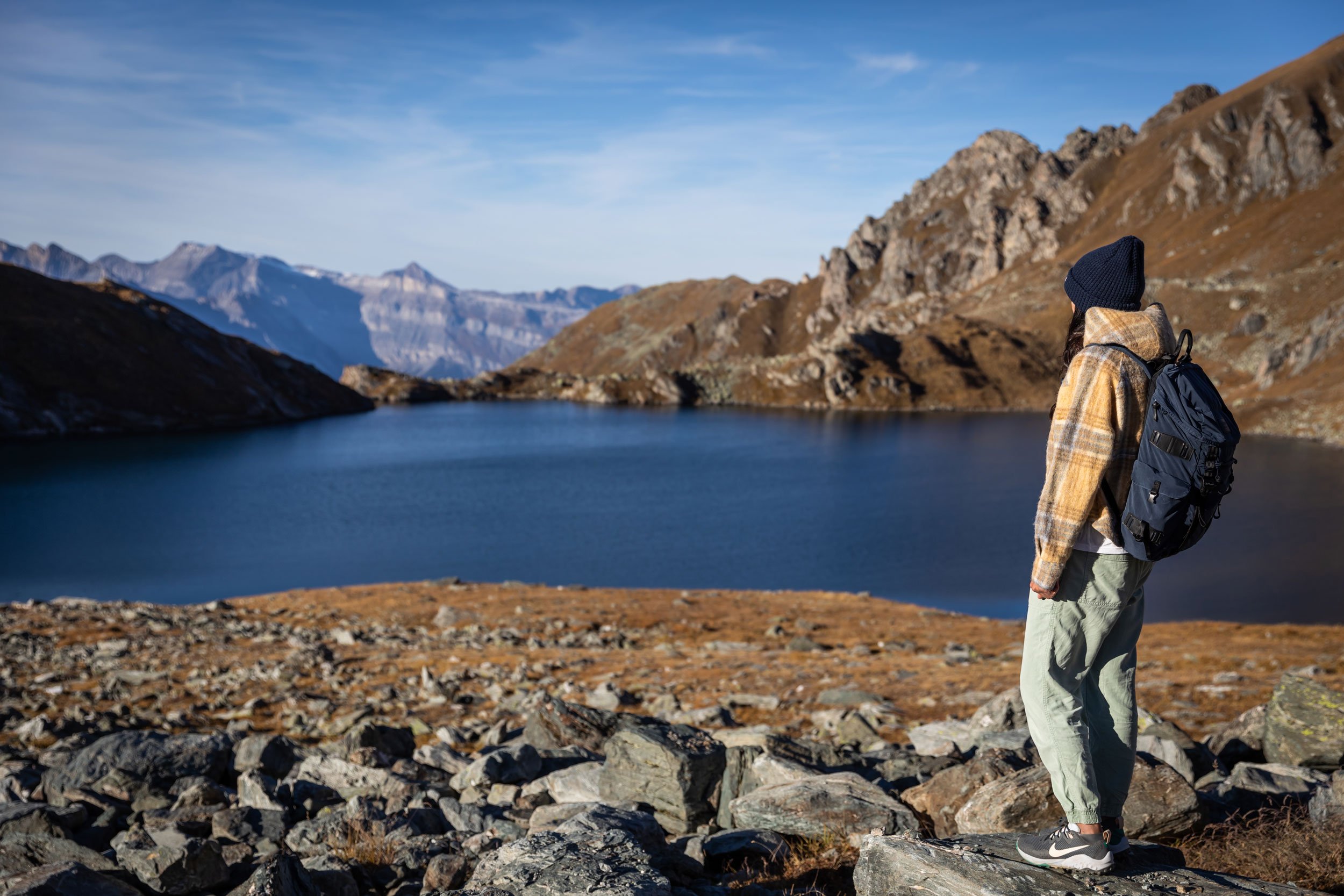
Lac des Vaux is such a treat to arrive at following a nice workout. It’s a fairly easy/moderate hike and there is little danger on the route. The scenery is of course breathtaking all the way. You can see the Massif du Mont Blanc and the Grand and Petit Combin most of the way until you drop over the other side to where Lac des Vaux is and then you have a completely different view altogether. The lake itself is nestled amidst some impressive jagged rocky peaks and of course you can also see the Mont Gele. If you ski, it’s really nice to see what is usually frozen over in the winter. It’s totally different! The crystal-clear waters of the lake reflect the surrounding mountains, creating a stunning mirror-like effect on a wind free day that's simply magical to capture through your camera lens if you bring one.

The peacefulness of the lake, combined with the fresh mountain air, creates an atmosphere that is both rejuvenating and inspiring. Whether you're a photography enthusiast, an experienced hiker or simply a casual nature lover, this hike offers a perfect opportunity to connect with nature and find solace in its beauty. And if you are brave enough to take a dip in the crystal clear water, do! You will feel rejuvenated and full of energy for the walk back down. It’s pretty fresh! July and August is when it reaches its ‘warmest’ temperatures, and this is usually around 10-12C - tropical…
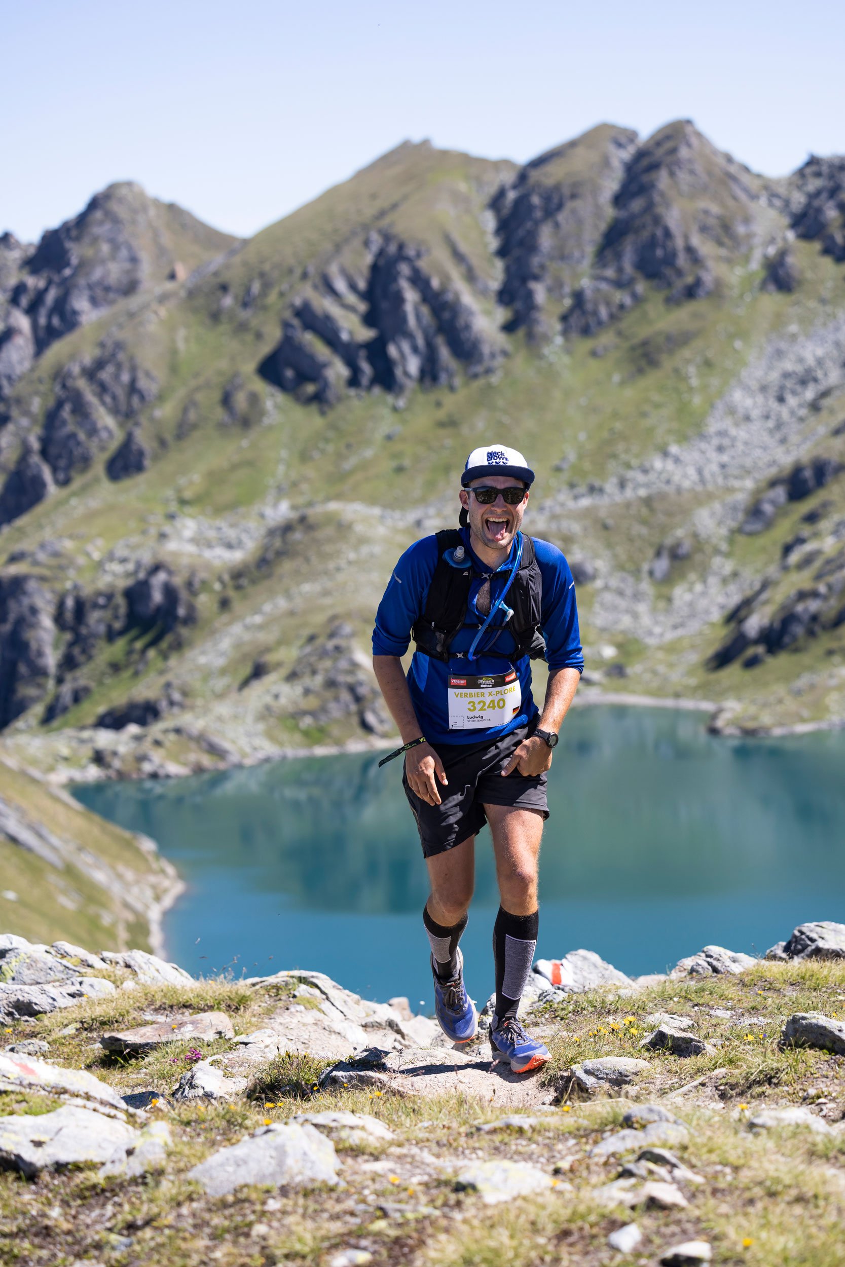
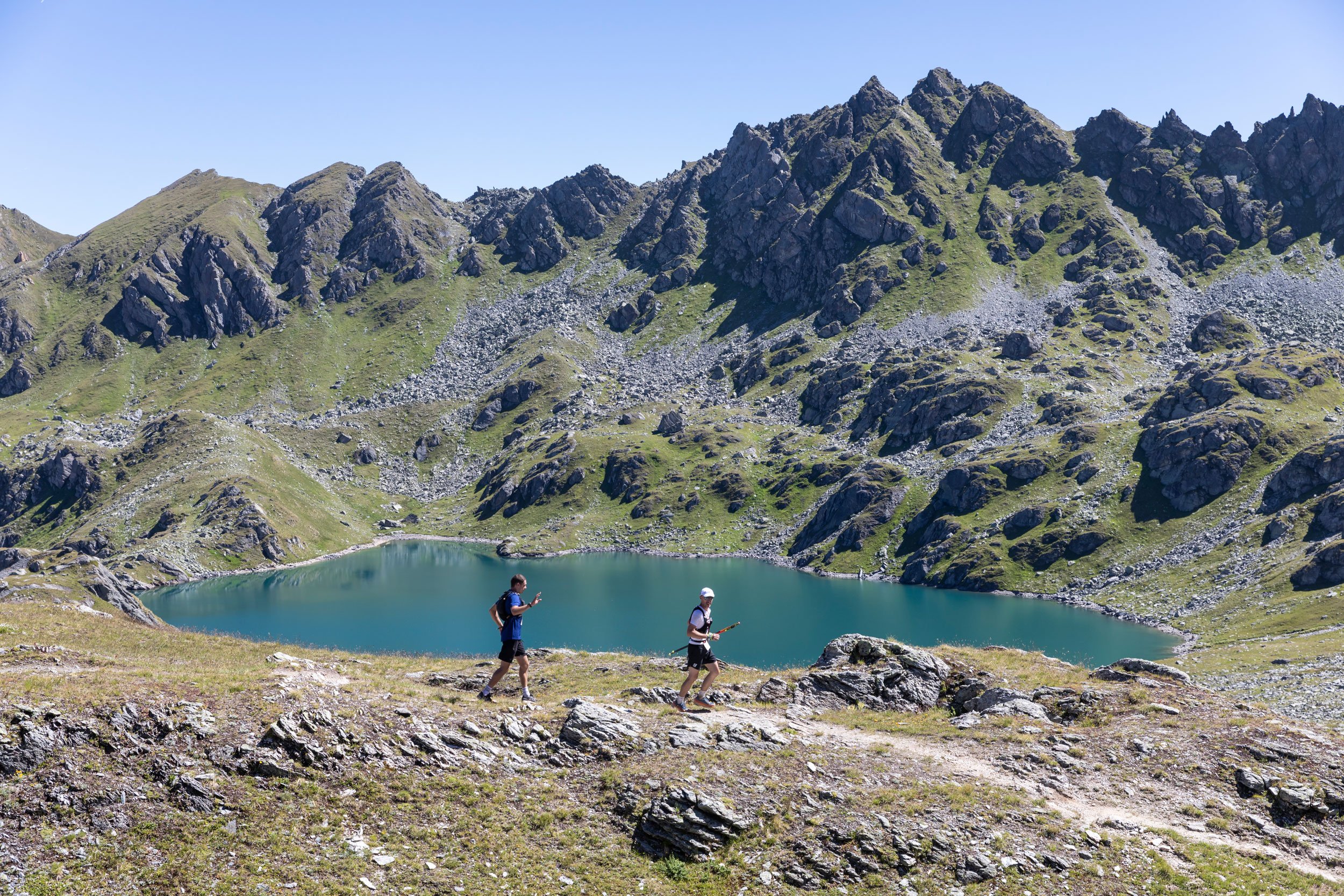
My favourite route has to be route 2 in which I go to Col de Mines and take in Vallon d’Arby on the way there, and then from Lac des vaux I head up to Attelas and then walk all the way down to Ruinettes. Most hiking websites and even Verbier Tourism and Verbier4Vallees will give you this route finishing at Fontanet which is a lovely way to do it as you get to see the incredible view from Fontantet too. From here you take the lift to Ruinettes. I personally don’t take the lift but walk all the way down to Ruinettes from Attelas as I like the exercise and I am fortunate to see the views here every day.
Route 1 is shorter and quicker if you don’t have much time but I prefer Route 2 as it is more diverse. And if you have time, it is really nice to take a walk all the way around lac des Vaux too. But it always takes longer than it looks like it will take!
So here are the two routes I predominantly take.
Route 1: Fontanet > Lac des Vaux (Loop)
Distance: 8.3km
Highest point: 2703m (Les Attelas)
Height gain: 465m↑↓
Difficulty: Moderate
Take the lift from Medran to Ruinettes and then change for the la Chaux Express lift to Fontanet. Once at Fontanet, you can see les Attelas lift station cleary above you to the left. You follow the path that takes you straight up to Lac des Vaux. Then loop round the same way to go down.
Route 2: Ruinettes > Col de Mines > Lac des Vaux > Fontanet - Approx 4hrs
Distance: 10.1km
Highest point: 2,727m (Les Attelas)
Height gain: 607m↑ 465m↓
Difficulty: Moderate
Take the lift from Medran to les Ruinettes. When leaving the lift station take a right towards the Ice Cube bar. Then alongside Ice Cube, take the path under the lift to your right. This path takes you towards Croix de Coeur. Once on the walking path, follow signs for Col de Mines. Then follow the clearly marked signs to Lac des Vaux. The path gets steeper and is incredibly scenic. You will first arrive at the smaller ‘Lac Rogeneux’ and then Lac des Vaux is revealed! On the way ‘down’ you first have to go up towards the Attelas lift station. There’s plenty of nice spots to stop and take photos. From the top you can follow the path all the way down. You will see the Fontanet lift station down below to the left. Keep going in the direction. You can decide whether to do the regular descent and get the lift from Fontanet to les Ruinettes, or continue all the way down like I do. If you do continue down, beware of the bikes as they too are going this way and usually with speed. They are fun to watch!
I would highly recommend starting the hike early in the day, so you can make the most of the daylight and avoid afternoon thunderstorms which can occasionally occur in the Alps during summer.
Remember, no matter when you hike, it's essential to have the right equipment and to stay safe. Even in the summer, the weather can change quickly in the mountains, so be prepared with warm and waterproof clothing, adequate food and water, sun protection for the high UV at altitude and a good map or GPS device.
Lastly, always respect the environment and wildlife by staying on the trail, packing all trash, and following any local regulations or guidelines.
Verbier4Vallees has routes, maps and lift ticket pricing here, and Verbier Tourism also has routes and maps here.